Today started with sweeping vistas of the Blue Mountains and ended with the Sydney Opera House and Harbour Bridge lit by LED projections. My life might be pretty good.
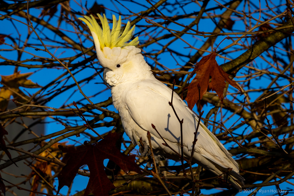
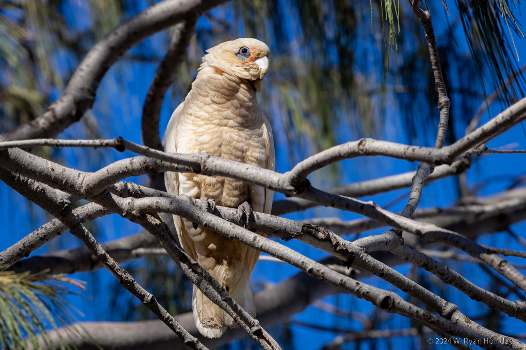
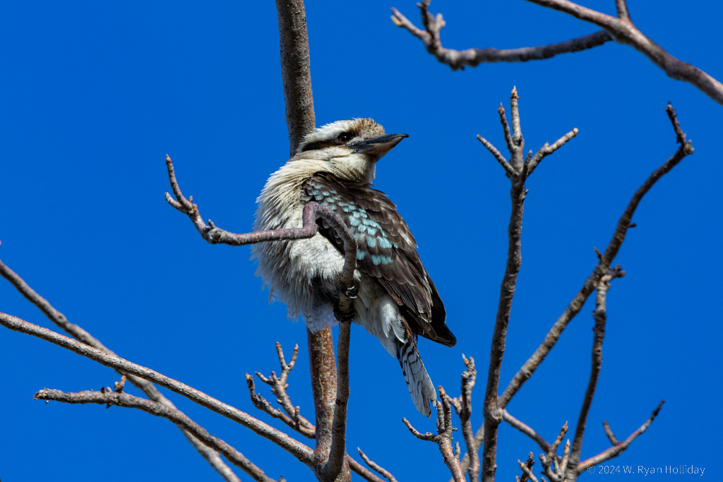
I got up this morning and went roaming around Katoomba looking for the sulphur-crested cockatoos that the town is famous for. These birds are pretty, loud, and (to use the Australian term) cheeky – one anecdote noted how a resident of Katoomba installed anti-bird spikes to ward off the noisy ruffians, only to have a cockatoo patiently spend a day removing them one-by-one rather than give up a favorite roosting spot (video). I found about fifty of them in the Woolworth’s parking lot this morning making a racket, but we also encountered them later in the day at the local bakery stealing whatever was left on tables, and surrounding a street musician; we think they might have been enjoying the guitar, but we’re not entirely sure.
Following our adventures with the cockatoos we did a short walk along the Blue Mountain overlooks, and despite my inability to capture the landscape in photos, it was even prettier than I expected. After leaving Katoomba I wanted to take the less-traveled route back to Sydney, so we made a loop onto the Bells Line of Road (that’s the actual name), which had almost no cars and considerably more pie shops than the route we’d taken into the mountains; the apple and cherry pie was truly delightful.
Our home for the last three nights of the trip will be Sydney, which is currently hosting Vivid Sydney, an event where buildings and the harbour are lit up every evening with LED lights and projections. We took a walk down to the opera house tonight, and it would be one of the most impressive buildings I’ve ever seen on its own, but the dramatic lights and projections on its roof took things to another level. Tomorrow we’ll do a tour of the building’s interior, which I’m looking forward to since it’s one of those places that’s so famous and iconic that it makes you want to pinch yourself when you’re actually standing next to it. I’m not ready for this adventure to be over, but luckily there are a few more days left to enjoy before we head back across the Pacific.